Date
19 March 2026
Reading Time
4 minutes
Last Updated
23 March 2026
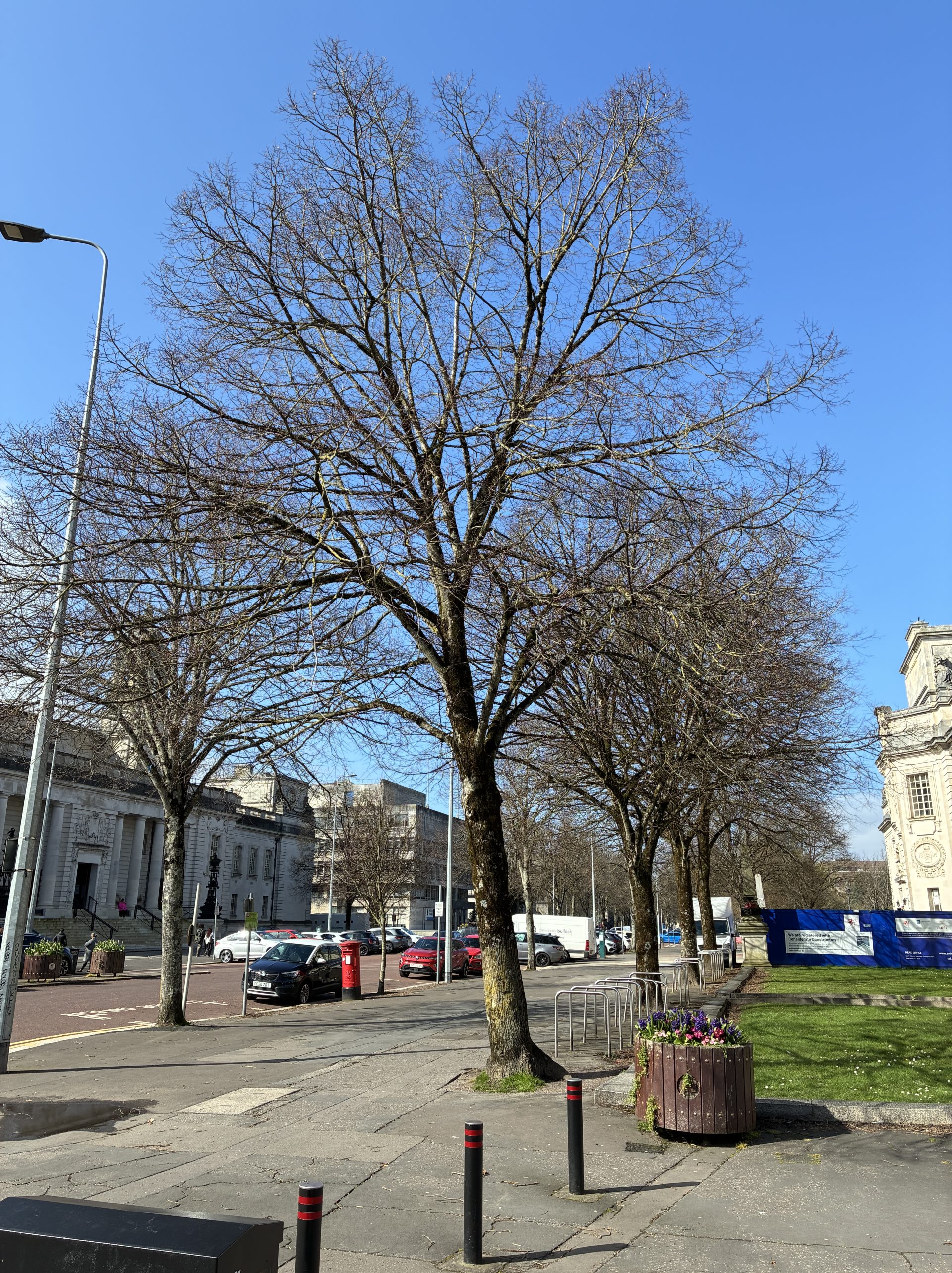
A new national map showing the location of trees outside of woodlands across Wales is now available for the first time.
The comprehensive research programme, undertaken by Forest Research, and funded by Welsh Government, uses the latest satellite imagery and national LiDAR survey data to identify trees outside of woodlands, revealing these trees make up 30% of national tree cover across Wales.
The dataset accompanying the map, identifies the canopies of all trees at least 3 metres tall and with a minimum crown area of 5 square metres which exist outside the areas already mapped as woodland in the National Forest Inventory (NFI). This includes lone trees, groups of trees, and small woodlands.
The map, freely available via the Welsh Government data portal, is designed to support anyone involved with planting or planning trees in Wales, from community groups and charities to farmers, foresters and public bodies. It will help to identify where opportunities lie for new planting, building on current schemes or identifying where lone trees could be connected to other trees and woodland.
Trees outside woodlands in urban and rural areas play a vital role. They store carbon, regulate temperatures, and mitigate against the impacts of climate change, such as flooding and over-heating of towns and cities.
Huw Irranca-Davies, the Deputy First Minister, with responsibility for climate change policy said:
“Trees outside of woodland play a critical role in supporting nature and helping to mitigate the impact of climate change in Wales. This map, which provides a comprehensive picture of Wales tree canopy beyond woodlands, helps us to recognise the contribution which they make – it opens the door to better decision‑making, stronger ecological networks, and a richer picture of Wales’s natural environment.”
This map, which provides a comprehensive picture of Wales tree canopy beyond woodlands, helps us to recognise the contribution which they make.
Freddie Hunter, Head of Remote Sensing, Forest Research said, “We have fused the latest satellite imagery with the Welsh LiDAR survey to identify trees outside of woodlands in Wales for the first time. The data will support targeted tree planting, helping to identify the most effective places to plant new trees, as well as aiding organisations to plan planting that complements existing canopy.”
The data will support targeted tree planting, helping to identify the most effective places to plant new trees, as well as aiding organisations to plan planting that complements existing canopy.
What the map shows
Each canopy patch in the dataset falls into one of four categories:
- Lone Trees – individual tree canopies.
- Groups of Trees – small clusters of trees forming a shared canopy.
- Small Woodlands – larger areas not included in the NFI woodland map.
- Overhanging Canopy – tree canopy leaning over existing NFI woodland (which can be used alongside NFI woodland maps).
Canopy areas are also split into height classes — from small trees (3 m) through to large specimens over 30 metres tall — providing extra insight into structure and age distribution of trees across Wales.
The map can be viewed online at DataMapWales.
Publication of the data follows a similar research programme undertaken for England’s trees outside of woodlands last year and funded by Defra’s Natural Capital and Ecosystem Assessment (NCEA) programme. For more information, visit Trees Outside Woodland Map – Forest Research
Additional Information
- Forest Research is Great Britain’s principal organisation for forestry and tree-related research and is internationally renowned for the provision of evidence and scientific services in support of sustainable forestry.
- Parameters are used to assign each feature to one of four woodland type classes: Lone Trees – single trees, shown as small, separate canopy areas with one treetop within them. Groups of Trees – small clusters of trees growing close together within the same canopy patch. Small Woodlands – larger, continuous tree areas that meet a minimum size (0.1 ha). Overhanging Canopy (NFI OHC) – portions of tree canopy, where the stem is inside the NFI, that overhang NFI boundaries by 10 m or less.
Recent News
View All news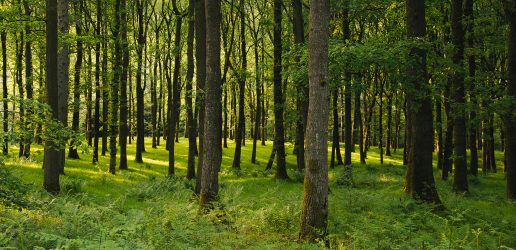
Provisional woodlands statistics released
Forest Research have today published provisional statistics on UK woodland area, certification, planting, restocking and Woodland Carbon Code projects for the year to March 2026.

On Wednesday 17 June, Forest Research was admitted to the European National Forest Inventory Network (ENFIN).

Scientists at Forest Research have published two new concise guides which bring together the key findings from the woodland creation and expansion programme, plus related work.
The In Briefs provide a starting point for readers wishing to...
Provisional woodlands statistics released
Forest Research have today published provisional statistics on UK woodland area, certification, planting, restocking and Woodland Carbon Code projects for the year to March 2026.
On Wednesday 17 June, Forest Research was admitted to the European National Forest Inventory Network (ENFIN).
Scientists at Forest Research have published two new concise guides which bring together the key findings from the woodland creation and expansion programme, plus related work.
The In Briefs provide a starting point for readers wishing to...