Remote Sensing is the process of observing and accurately imaging the earth’s surface. Forest Research is using remote sensing to improve the reporting of key forest indicators such as woodland loss monitoring, storm damage monitoring and Larch mapping.
Forest Research is utilising the most up-to-date remote sensing tools, including data collected from satellites, aircraft and drones, to accurately map GB woodland.
Imagery from earth observation satellites is the basis of much of our current research. Forest research employ data collected by the European Space Agency’s Sentinel program. Their Sentinel-1 and Sentinel-2 satellites collect images of the Earth’s surface utilising radar and multispectral imaging.
LiDAR data provided by the Environmental Agency is also being investigated. The prospect of using LiDAR height data alongside other remote sensing capabilities is of particular interest.
Woodland loss
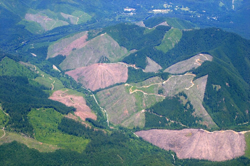
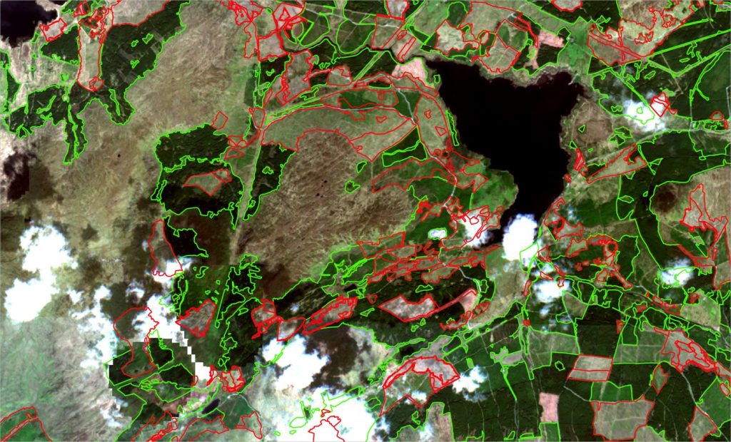
Clearfell is a forestry practice of uniformly cutting all trees in an area. In addition to wood harvesting, clearfell plays a key part in sustainable forestry and is used to create forest ecosystems and promote species. It is important to track clearfell to improve woodland mapping, estimate biomass, estimate felling pipelines, detect illegal felling and monitor the impact of storms.
Using a combination of Sentinel data imaging and machine learning, Forest Research has developed a woodland loss algorithm which can accurately distinguish between mature conifer trees and clearfell. By conducting numerous analyses over a period, maps can be compared to track changes to woodland over time.
Clearfell data is collected biannually, post Winter and Summer.
Storm damage
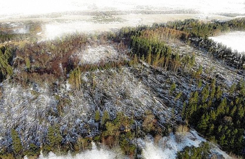
Forest Research has also adapted its woodland loss algorithm to identify potential areas of windblown trees.
This change algorithm was used to map the epicentre of damage caused by Storm Arwen, which hit the northern portion of the UK on 26 November 2021.
Please see the Windblow Assessment portal for an up-to-date map and for further information on the project.
Larch mapping
It is becoming increasingly important to map the location of larch trees as they are highly susceptible to infection. Using satellite imagery, Forest Research has developed a mapping approach that identifies likely larch stand locations based on seasonal changes.
For more detailed information on our larch mapping and clearfell products, please see the Forest Research seminar below: