Summary
An urban canopy cover map for the UK
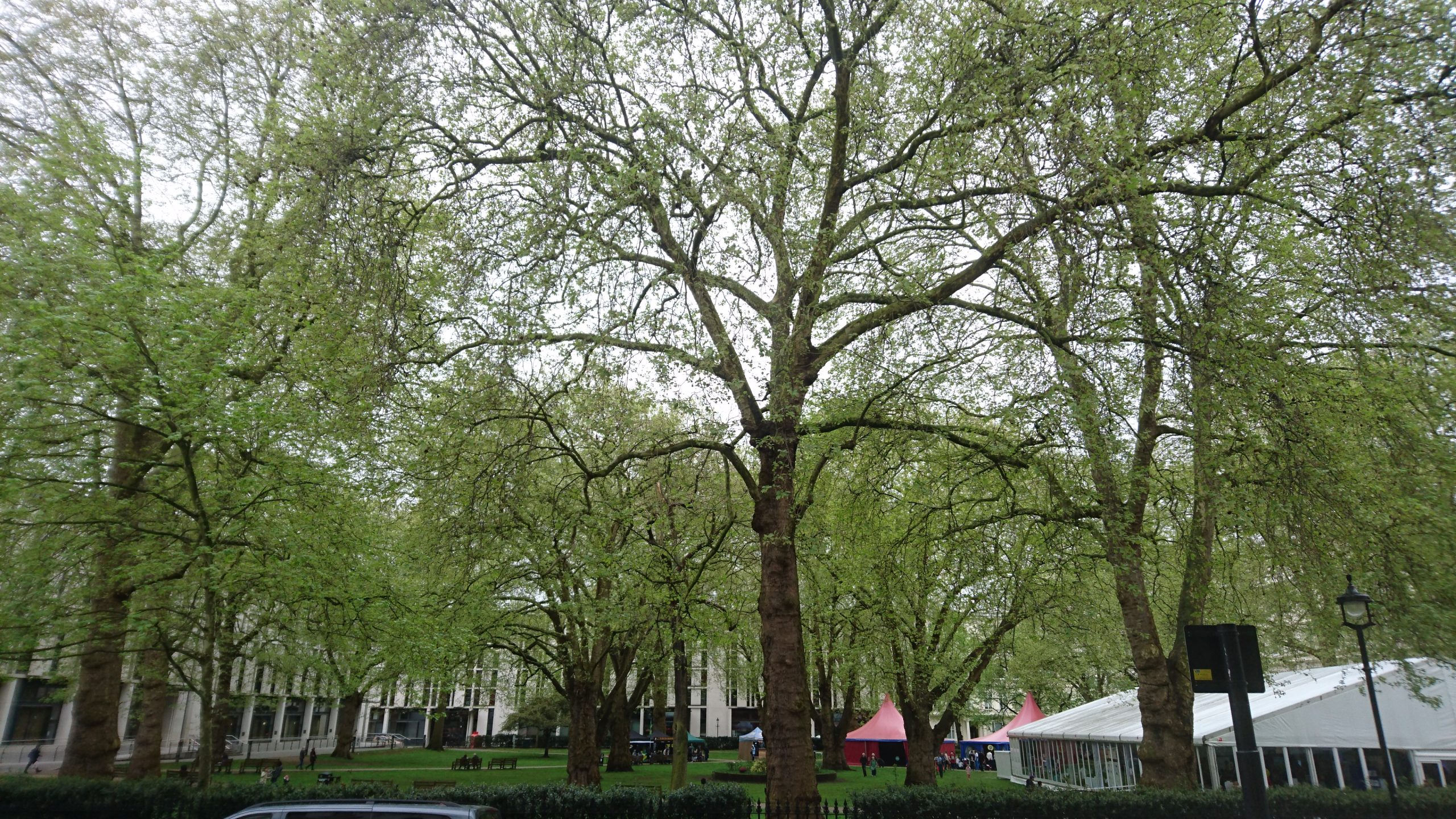
Urban trees are being increasingly recognised for the many benefits they provide, such as removing carbon dioxide and pollutants from the air, providing habitats for wildlife, and making our urban areas more attractive, enjoyable and healthy places to live and spend time in. To help manage and understand this important resource, Trees for Cities, Brillianto, Woodland Trust and Forest Research have hosted a citizen science project to map the canopy cover of towns and cities across the England, Scotland, Wales and Northern Ireland.
Contributors have helped to build this canopy cover map for the UK by measuring the canopy cover across the UK.
Research Objectives
Using the i-Tree Canopy tool, the canopy cover for 283 towns and cities in England was assessed in 2016 as part of a baseline study. Canopy cover was assessed at the town or city level, and an average canopy cover of 15.8% was estimated. For full results of the study please see The Canopy Cover of England’s Towns and Cities: baselining and setting targets to improve human health and well-being (Trees People and the Built Environment 3, 2017).
We have built on this work by extending it to more locations, and by providing a more detailed breakdown of canopy cover within urban areas by undertaking canopy cover assessments at the electoral ward scale. Examining canopy cover at the ward level has helped to identify which areas within a town or city could benefit from future tree planting and to help improve management of existing urban trees.
How was canopy cover assessed?
This project used a free, online tool called i-Tree Canopy, which provides a scientifically robust and consistent approach to estimating canopy cover. It’s a quick and easy approach, allowing a ward canopy cover assessment to be completed in around 45 minutes.
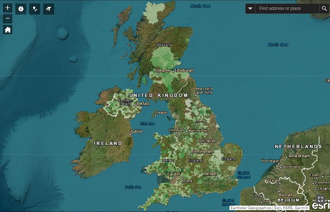
Visit our interactive webmap to view the results.
Findings and Recommendations
Findings
- Canopy cover was measured in 5,749 urban wards across the UK.
- The area-weighted mean across all wards is 17.3 %.
- Approximately one quarter of urban wards have canopy cover exceeding 20%, which has previously been suggested as a minimum target for UK towns.
- South Wales (19.2%) and the south-east of England (22.1%) have the highest regional canopy covers.
- Northern Ireland has the lowest regional canopy cover at 11.8 %.
- Wards with low canopy cover were more likely to be deprived in England, and more likely to be densely populated in England and Wales.
Recommendations
- Progress UK-wide and national analyses to models which characterise longitudinal patterns in urban green infrastructure.
- Identify drivers of high and low canopy cover.
- Predict likely benefits and costs from tree canopy cover.
- Identify maximum, optimum, minimum, and potential rates of change in tree canopy cover for effective and sustainable delivery of benefits.
Latest Update
The canopy cover data from this project can now be downloaded from Forest Research’s Open Data site.
For statistical analysis of the results, please see The canopy cover Webmap of the United Kingdom’s towns and cities (Sales et al., 2023).
Downloads

Canopy Cover Webmap User Guide - Updated March 2021
This guide will walk you through step-by-step how to complete and i-Tree Canopy Assessment and how to use our interactive web map
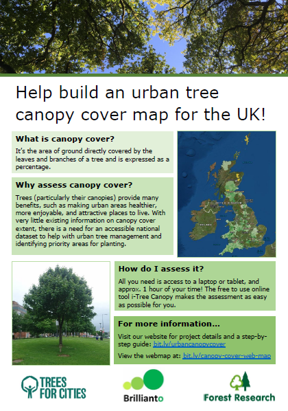
Canopy Cover Flyer
A short flyer describing the project
England’s Urban Forests: Using tree canopy cover data to secure the benefits of the urban forest
Guidance on using tree canopy cover data to measure, manage and enhance urban forests, supporting evidence-based planning and local tree strategies.
i-Tree Canopy Configuration file
Download this file to help set up your canopy assessment in i-Tree Canopy
